 PC
PC Mobile device
Information
English (United States)
Description
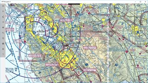
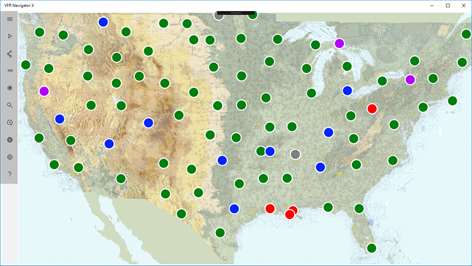
Basic moving map app with VFR sectional charts and terminal procedure publications for lower US states. Contains data on waypoints, navaids and over 5000 public airports. App supports flight planning, tracking, direct-to mode and can show METARs and TAFs for the airports. App can run on desktop, tablet or phone.
One chart is available for free after installation. In-app data subscription purchase is required to access sectional VFR charts and terminal procedure publications (TPP) of lower 48 states. Charts for Alaska, Hawaii and territories are not available at this time.
v2.2.4
People also like
Reviews
-
9/27/2017One and only map in WP Store by Sejay
Works perfectly as a moving map for planes without GPS. Simple to use.
-
12/27/2016Perfect app for VFR pilots !!! by Jerry C.
This app is excellent, and constantly improving. App developer listens to feedback, and if warranted, implement's the ideas from his users to make a great product even better. I've been a pilot for over 20 years, and this app is the best alternative to paper charts. Moving maps with active GPS does not need a cellular connection for basic navigation. Don't fly without it. Well worth the money !!!
-
9/15/2016Wow! by Stefan
First app of this kind for Windows 10! awesome!
-
3/2/2018Crashing by Clark
Crashes right after I open.
Articles
Top downloads
New and rising apps
Best-rated apps
- 3 Reitit
- 4 Street Views
- 5 MyLocation
- 6 SatelliteMap
- 7 Compass
- 8 Geo Converter (Lite)
- 9 Photo Editor India
- 10 Road Trips


