 Mobile device
Information
English (United States)
Description
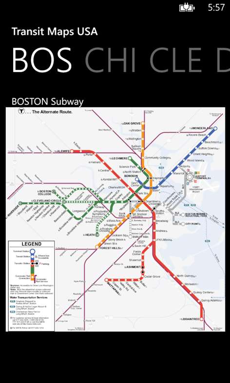
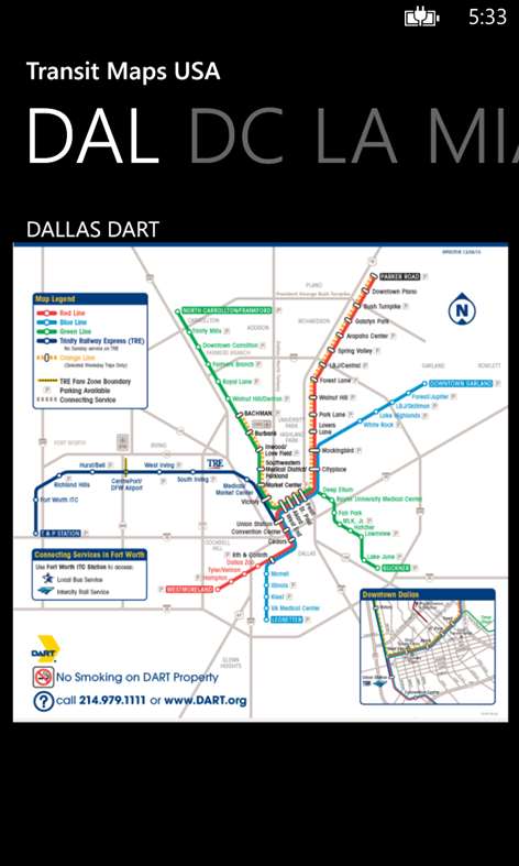
The only Transit Maps app of its kind. You can select the city you want to see the transit maps for and zoom in to view the map in detail on the full screen. You can easily zoom-in, pan, and zoom-out using one hand only. You can now plan your trip from anywhere, any time - no Internet/data connection required. Imagine having the ease of mind that you will always know what line to catch to go where you want to go.
The app supports, both, Portrait and Landscape orientation modes.
Give it a try. Your satisfaction is guaranteed.
Please download and rate the app. Provide your feedback via email to "WinPhoneDevs AT gmail DOT com" and let us know if you would like a new city added.
Tip: Double-tap the zoomed-in map to reset zoom.
The application includes transit maps from the following cities: - Atlanta / ATL - Boston (Subway, Commuter Rail and Boats) / BOS - Chicago / CHI - Cleveland / CLE - Dallas / DAL - DC, Washington / DC - Lexington / LEX - Los Angeles / LA - Miami / MIA - Minneapolis / MSP - New York City / NYC - Philadelphia / PHI - Portland / POR - San Francisco (BART, Caltrain and MUNI) / SFO - San Jose/Santa Clara / SJC - Seattle (Sound Transit and Monorail) / SEA - St. Louis / STL
People also like
Reviews
-
6/23/2014by Guy
Helped me in Boston!
-
9/4/2013by Nick
Cool. I use it in NYC
-
9/1/2011by fpinto
Just a picture of system maps, no times, no planning, no station info. Very basic
-
6/29/2011by organizerdan
A bit useless. Other free maps plot out directions for any city. This proved less than redundant.
-
4/26/2013by Peter
Great
Articles
Top downloads
New and rising apps
Best-rated apps
- 3 Reitit
- 4 Street Views
- 5 MyLocation
- 6 SatelliteMap
- 7 Compass
- 8 Geo Converter (Lite)
- 9 Photo Editor India
- 10 Road Trips


